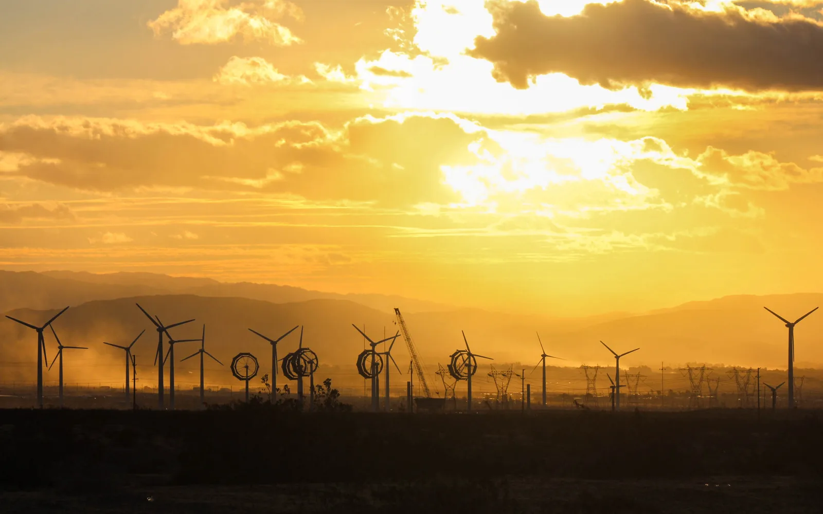
Rows of turbines beside Highway 62 announce the western approach to Desert Hot Springs. They are not scattered there by chance. The San Gorgonio Pass forms a low opening between the San Bernardino Mountains to the north and the San Jacinto Mountains to the south. Regional pressure differences push air through that constricted terrain, producing a wind resource strong enough to support utility-scale generation.
A natural corridor becomes an energy landscape
Cooler coastal air moving toward hotter inland desert areas accelerates through the pass, especially during predictable daily and seasonal patterns. The same corridor that carries Interstate 10, rail lines, and transmission infrastructure also connects the coastal side of Southern California with the Coachella Valley. For Desert Hot Springs, turbines are both nearby machinery and a visible expression of the region's geography.
Commercial development began decades ago, giving the pass a mixture of turbine generations. Smaller early machines established the familiar dense arrays; later repowering projects replaced groups of older equipment with fewer, taller, more productive units. The California Energy Commission identifies San Gorgonio as one of six regions containing most of the state's wind turbines, alongside Altamont, Tehachapi, Solano, Pacheco, and eastern San Diego County.
New machines alter an already familiar view
Modern turbines use larger rotors and taller towers to reach a broader, steadier wind field. The Energy Commission notes that contemporary machines are dramatically larger and more capable than older models. Repowering can therefore change the horizon even when wind generation remains on long-established sites. Fewer towers do not necessarily mean less output, and a larger rotor can be visible from much farther away.
Wind projects also require roads, substations, transmission connections, wildlife review, and operational setbacks. State and local planning records examine those systems as part of the whole landscape rather than treating a turbine as an isolated object. At sunrise, rows of silhouetted towers occupy the pass-facing horizon along Highway 62, a major approach to Desert Hot Springs, while remaining physically separate from most residential parcels.
Use parcel facts instead of a regional silhouette
A homeowner should identify the construction, roof, foundation, utilities, occupancy, solar equipment, detached buildings, and permitted work at the insured address. If a property actually includes leased energy equipment, utility easements, acreage, or unusual access, disclose the arrangement and provide contracts when requested. A view of distant turbines does not establish exposure, ownership, noise, or any other underwriting fact for a residence.
Compare replacement limits, deductibles, liability, loss of use, ordinance-or-law coverage, water provisions, exclusions, and inspections using consistent information. Ask how power interruption, food spoilage, service lines, and backup equipment are treated rather than assuming they are automatically covered. Regional renewable generation can support the electric system, but it cannot guarantee service at one home. The policy language and documented loss control the claim.